Day 65: Karakol
A day of well earned rest. I spent today sleeping in (10 hrs sleep!), mindlessly scrolling (2-3 hrs), and route planning at a cafe in town (Lighthouse; reasonably recommended).
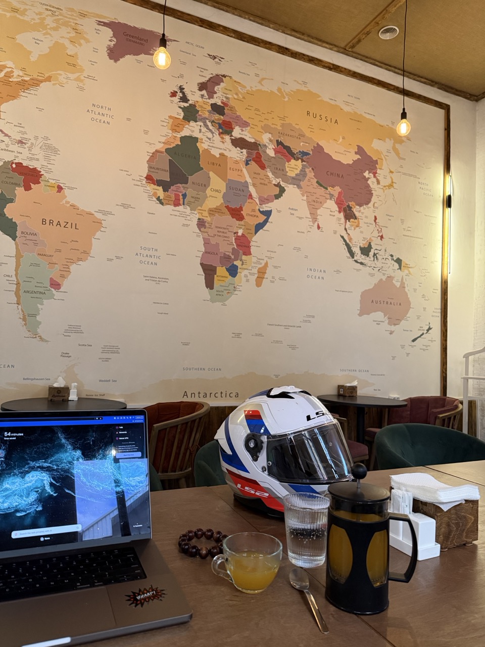
 today’s parking spot: lighthouse coffee
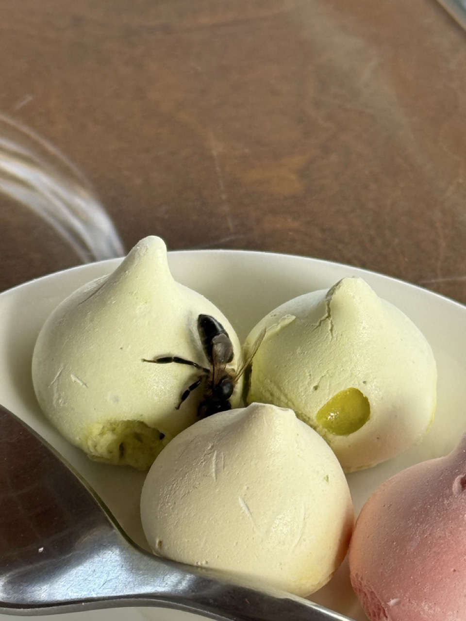 a bee gets acquainted with the coffee accompaniments
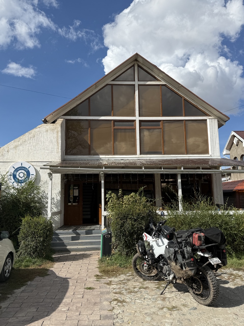
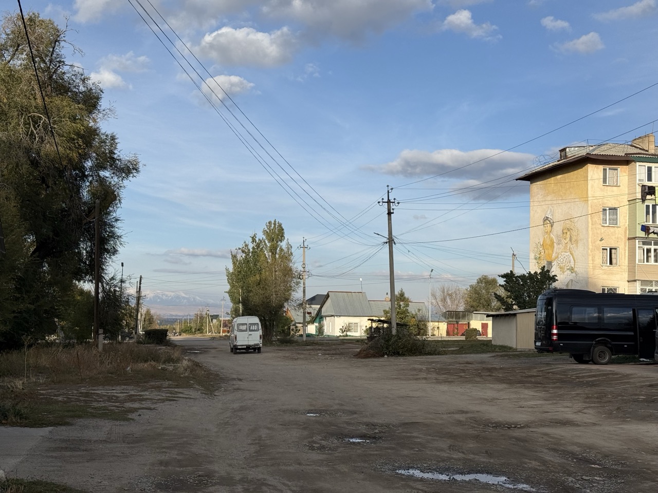 suburban Karakol (outside Lighthouse)
Most of my time was spent trying to find out a route from Karakol to Osh which:
- Was paved all (most) of the way (I really don’t want to play around with mud after yesterday)
- Avoided Bishkek (just not a fan of the city)
 adventure vibes
I had a few hiccups on ChatGPT, where it would very confidently give me routing instructions, and then when the points were plotted on a map they did not make much sense at all…
 ChatGPT’s confusing route suggestions
Ultimately I spent a bunch of time on Yandex Maps (which I think despite the routing issue yesterday, is still the best solution for this region), and helpfully a user had uploaded dashcam footage of the entire route!
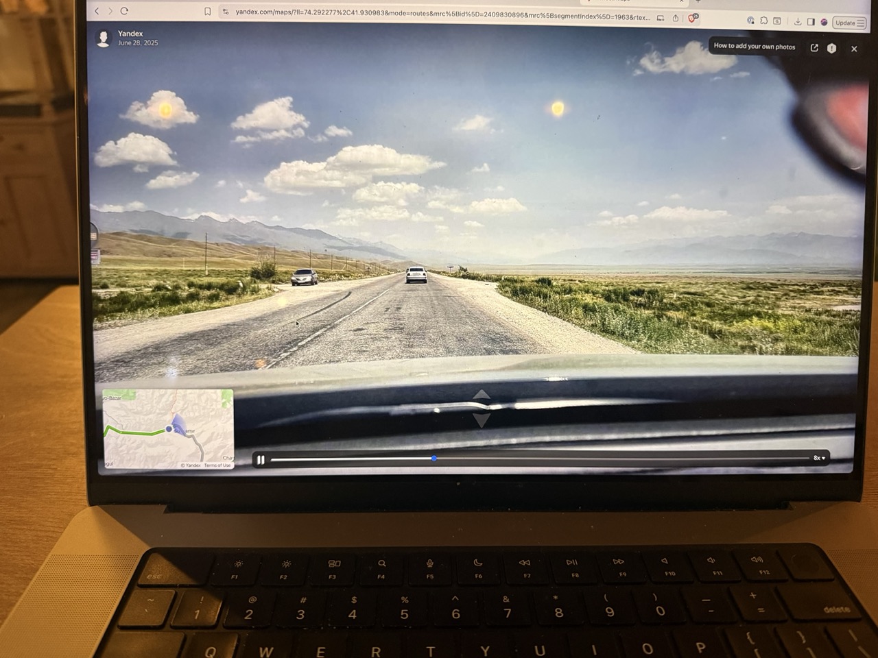 Scrubbing through Yandex Maps
So about 15 mins scrubbing through at 8x speed later, I’ve decided to do the following:
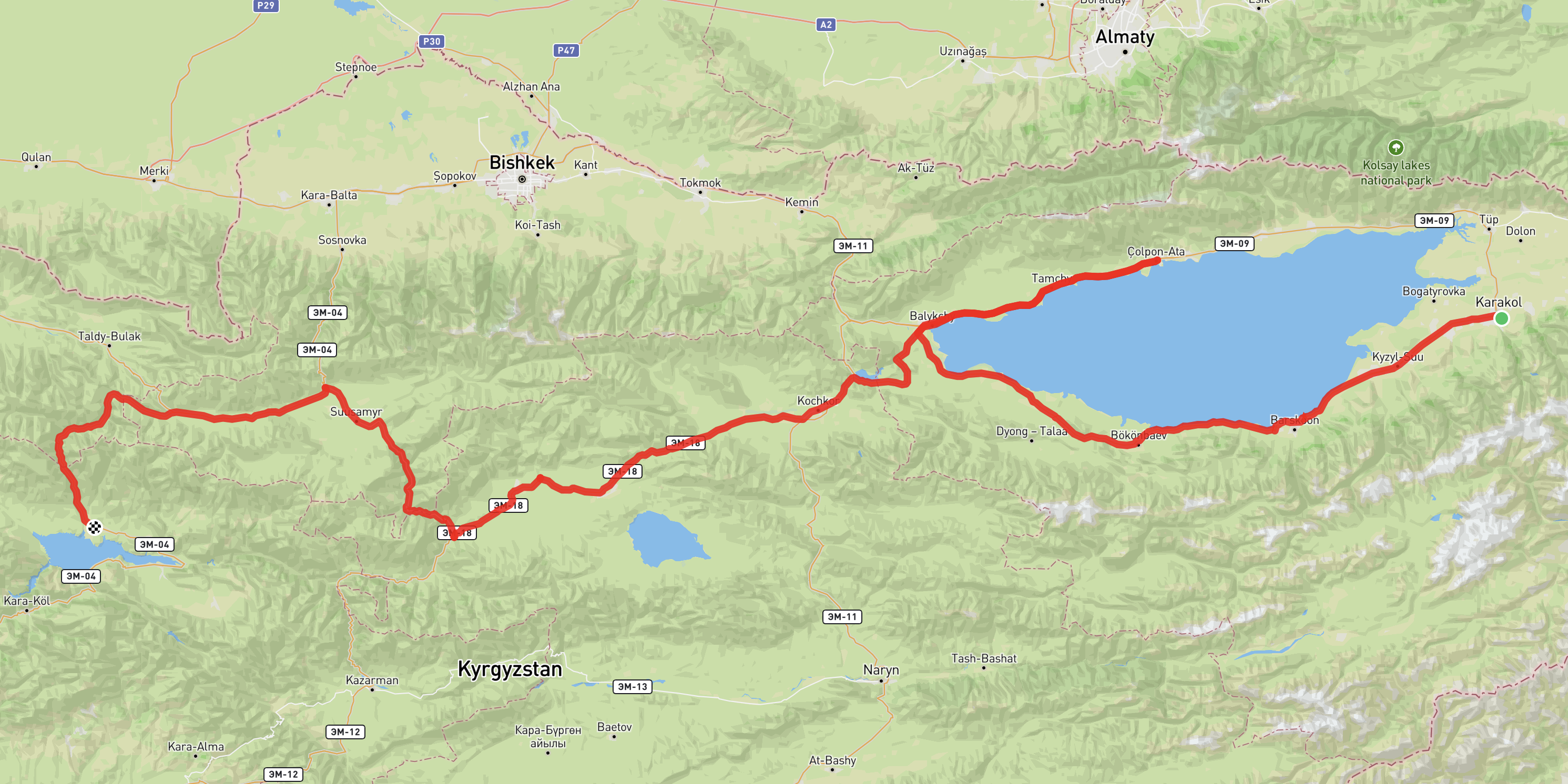 Final planned route from Karakol to Osh
| Date | From | To | Distance (km) | Duration (hrs) |
|---|---|---|---|---|
| 6 Oct | Karakol | Balykchy | 218 | 5.0 |
| 7 Oct | Balykchy | Cholpon-Ata | 80 | 2.0 |
| 8 Oct | Cholpon-Ata | Kök-Oy | 271 | 4.0 |
| 9 Oct | Kök-Oy | Toktogul | 226 | 4.5 |
| 10 Oct | Toktogul | Osh | 375 | 5.0 |
This route:
- follows the Southern side of Issiy-kul lake, which is supposed to be less developed and more fun to explore (but still has paved roads)
- then goes up towards the main resort town in the north, Cholpon-Ata (I am interested in seeing how developed it is / how developed tourism infrastructure is at Issiy-kul lake)
- Then goes via Kök-Oy (avoiding Bishkek), travelling through the Tien Shan mountain range, to join the M41 to Osh (the previous route I took).
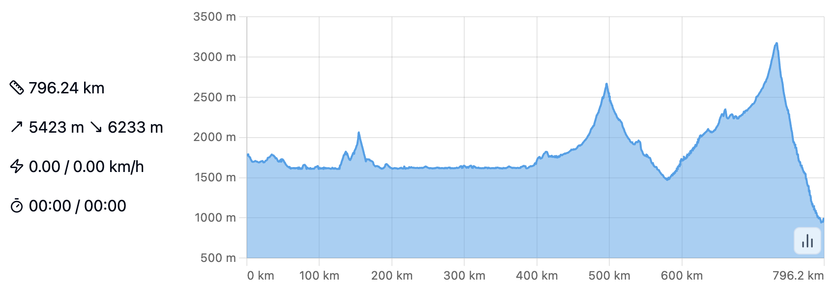 Altitude profile showing the mountain passes
It looks like each of these stops has guest houses available for staying at, altitudes do not go too high (which would mean ice/snow potentially on the road), and do not have any dirt roads. It also is a novel route which is nice, so I can see more of Kyrgyzstan.
There is still a bit of flex in the timetable:
- I can stop before Balykchy and stay at a yurt camp along the way if I want to spend more time exploring the southern side
- I can push on past Kök-Oy to Suusamir (extra 2 hrs)
- I can push on past Toktogul to Kara-kul (extra 1.5 hrs)
Tomorrow; Balykchy!
Some stats:
- 11.3L Fuel added
- 1 unique interaction
- 18g coffee consumed
- 4 KMs travelled