Day 27: Daocheng Yading -> Litang (理塘)
Today could probably be best described as a ride through the land of giants. Our route crossed two mountain ranges, and finished in the high meadows of Litang.
 Today’s route in blue
We set off at 11am, collecting our laundry on our way out of town. It was a crisp, sunny morning, and the roads were quiet. Perfect riding weather.
The first section was characterised by small Tibetan towns, set among dry-ish mountains. This was in part retracing our steps from the previous day, until we reached the intersection between the G547 and the G227 (which we were travelling on) - and continued on. This was where the scenery started changing. We revisited the damp, reddish green landscape from a few days prior, as we entered the highlands.
 Scenes from section 1
Yaks dotted the meadows on either side of the highway, which carved the wide expanse. Passing the apex came an epic descent, into a valley which dropped ~800m in altitude over 20 kilometres, with the valley floor far below. This was one of those roads where you don’t want to look too far to the right, to avoid thinking about the steep drop.
Lunch was in Daocheng County, and we had Sichuan food. Day by day, the food gets spicier.
 Sichuan food in Daocheng County
As we ate, I observed a dark cloud moving in our direction - and by the time we set off, the skies had darkened and rain started to fall.
 The oncoming storm
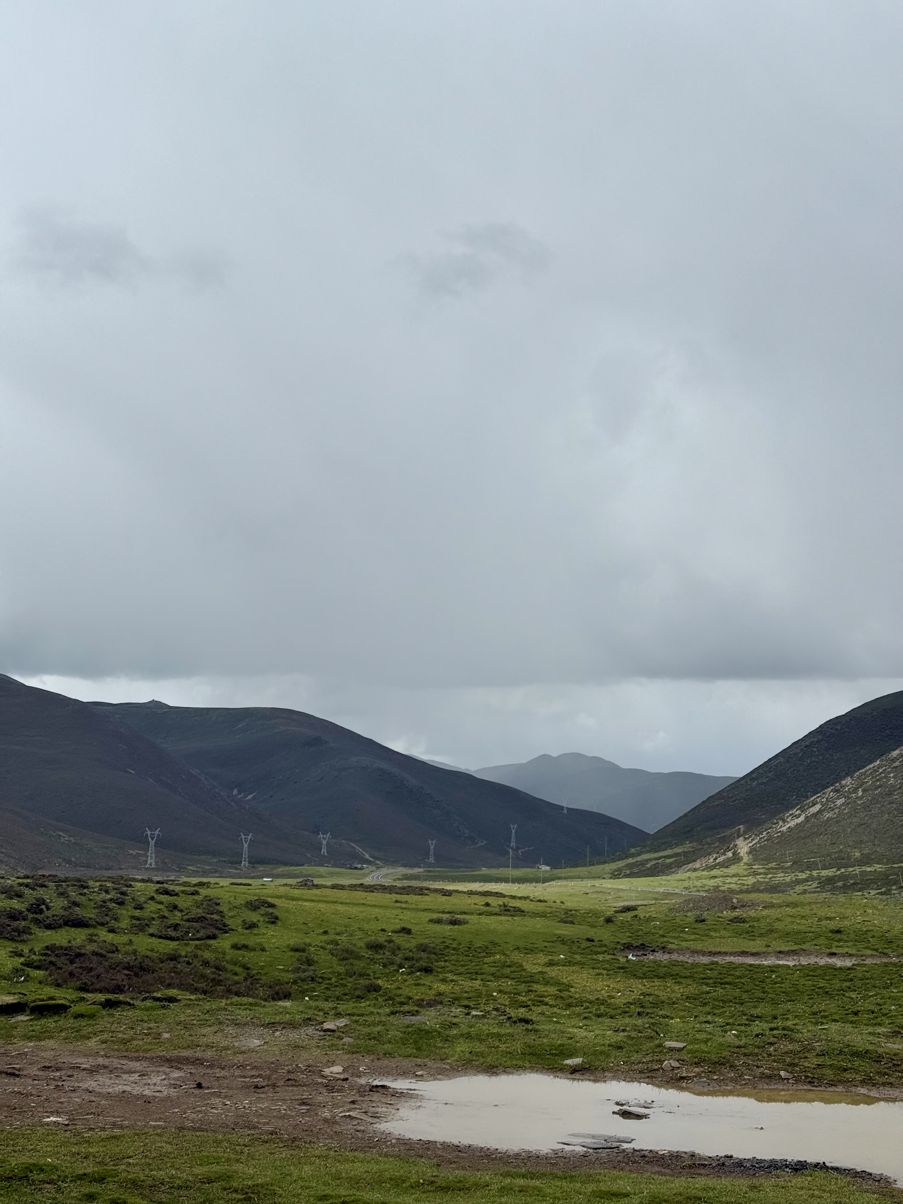
I started riding at a moderate pace - sensible speeds in the wet - but not so slow as to be travelling along with the storm. Eventually we outran the storm, just as we started our ascent to the Haizi Mountains. This was the second epic landscape, with a smattering of rocks at the base of the mountain (left behind by a glacier long ago?) increasing in number and size until the entire landscape was a base of grass, covered in boulders. It is hard to capture, but it truly felt like we were in a giant’s land on the roof of the world.
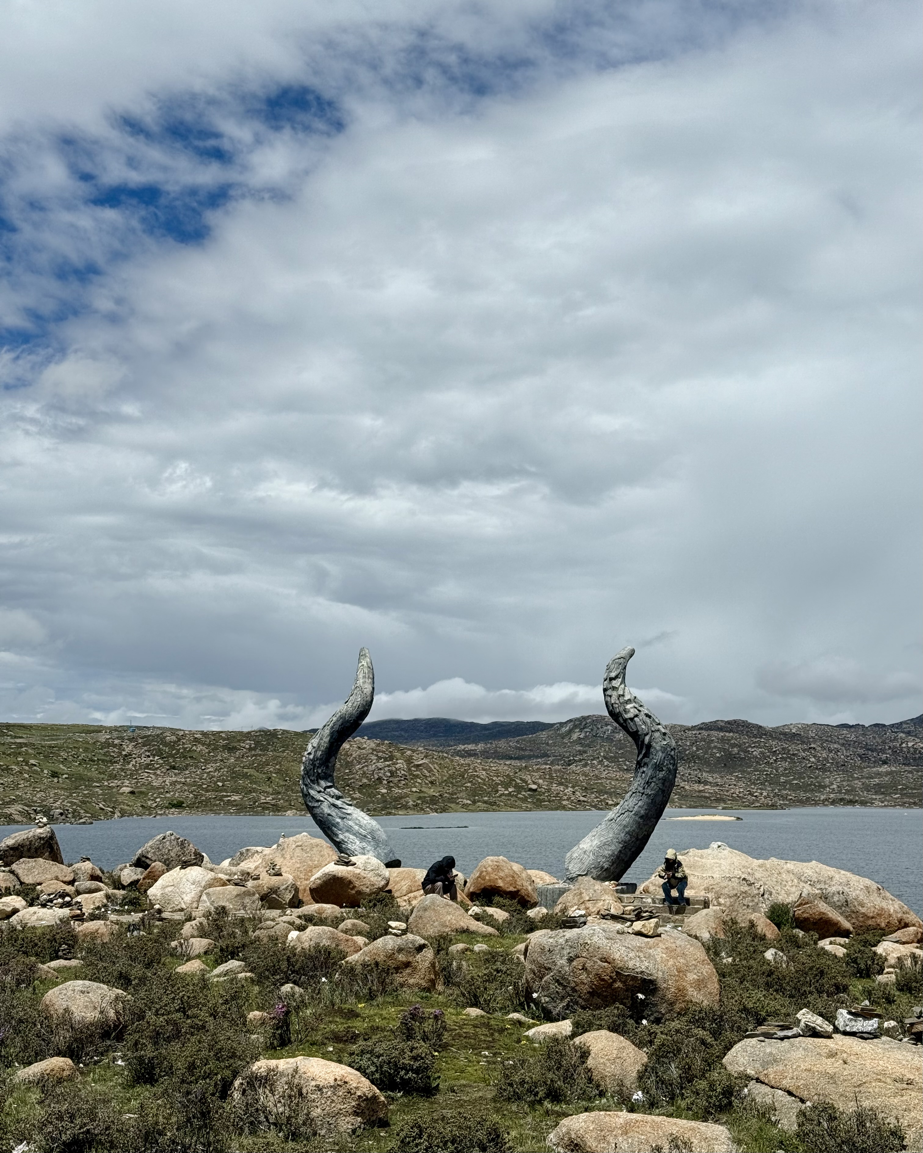 Devil (or yak?)horns of the Haizi Mountains
The top of the range was gently contoured, with curves here and there, but no distinct peaks. It was also at a spectacular altitude (which we only realised when stopped) ranging 4300-4600 MASL. There is something unique about high altitude landscapes that are very distinct, yet hard to describe.
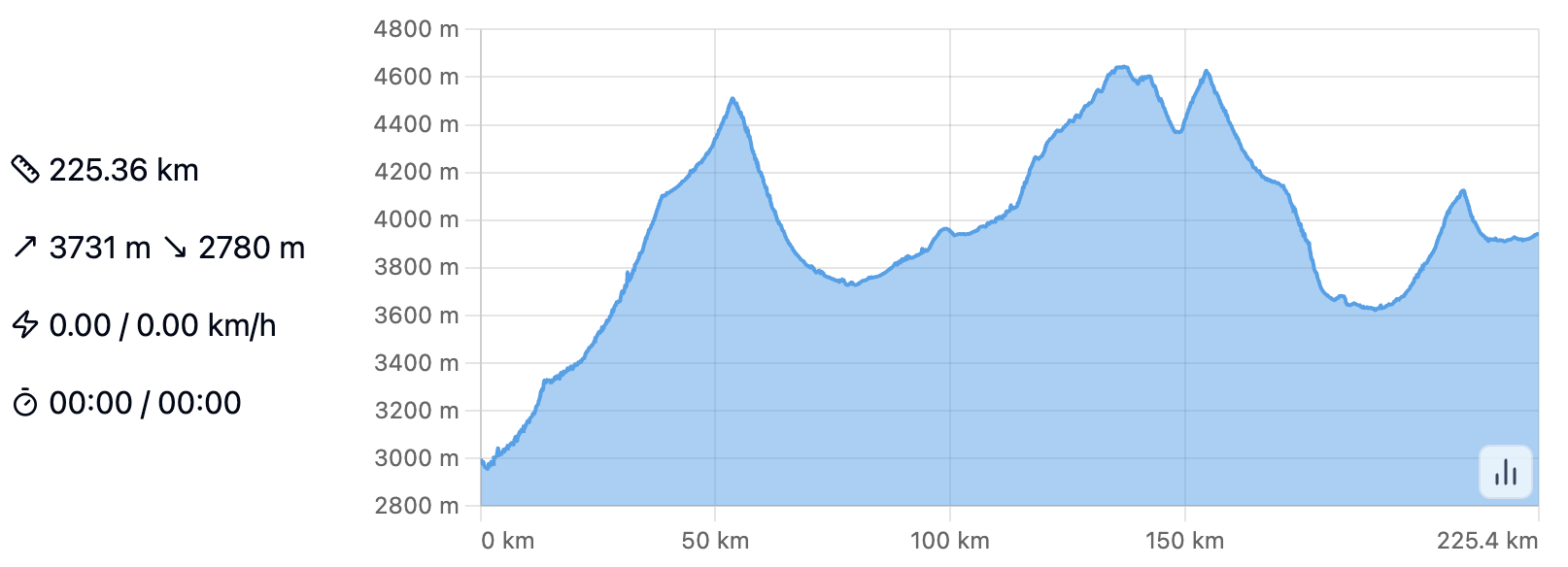 Altitude map of today’s ride
At this point, I was overcome by a wave of tiredness and loss of focus - much more than I’d experienced before while riding - so pulled over at a rest stop. This was probably some combination of the altitude (we were at ~4600 MASL), average sleep (6 hrs), and post-food sluggishness. After a brief walk, an oxygen can (only 10 RMB!), and some red-bull-equivalent energy drink, it was back to the road.
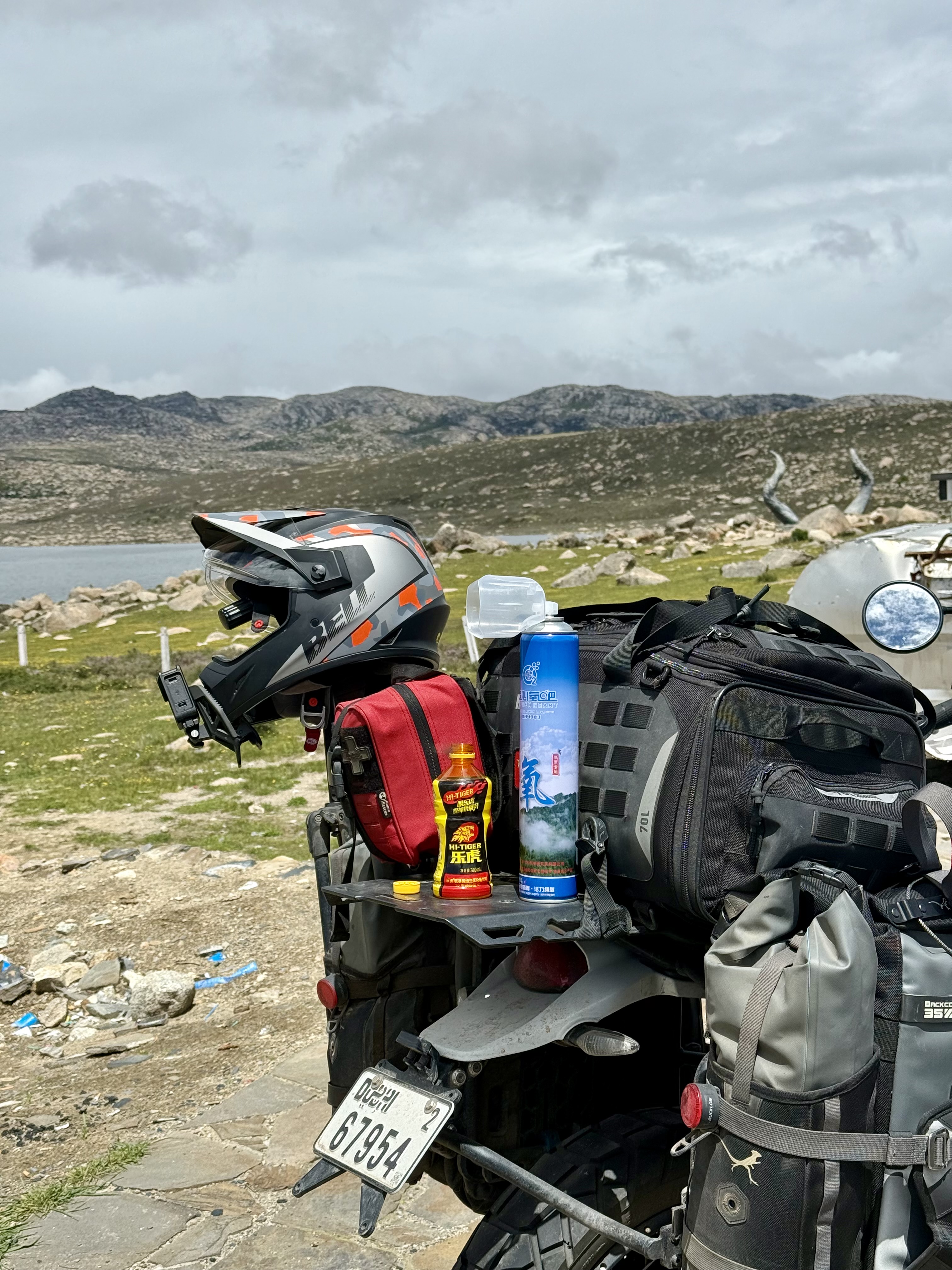 Recovery package: Hi-Tiger + Oxygen
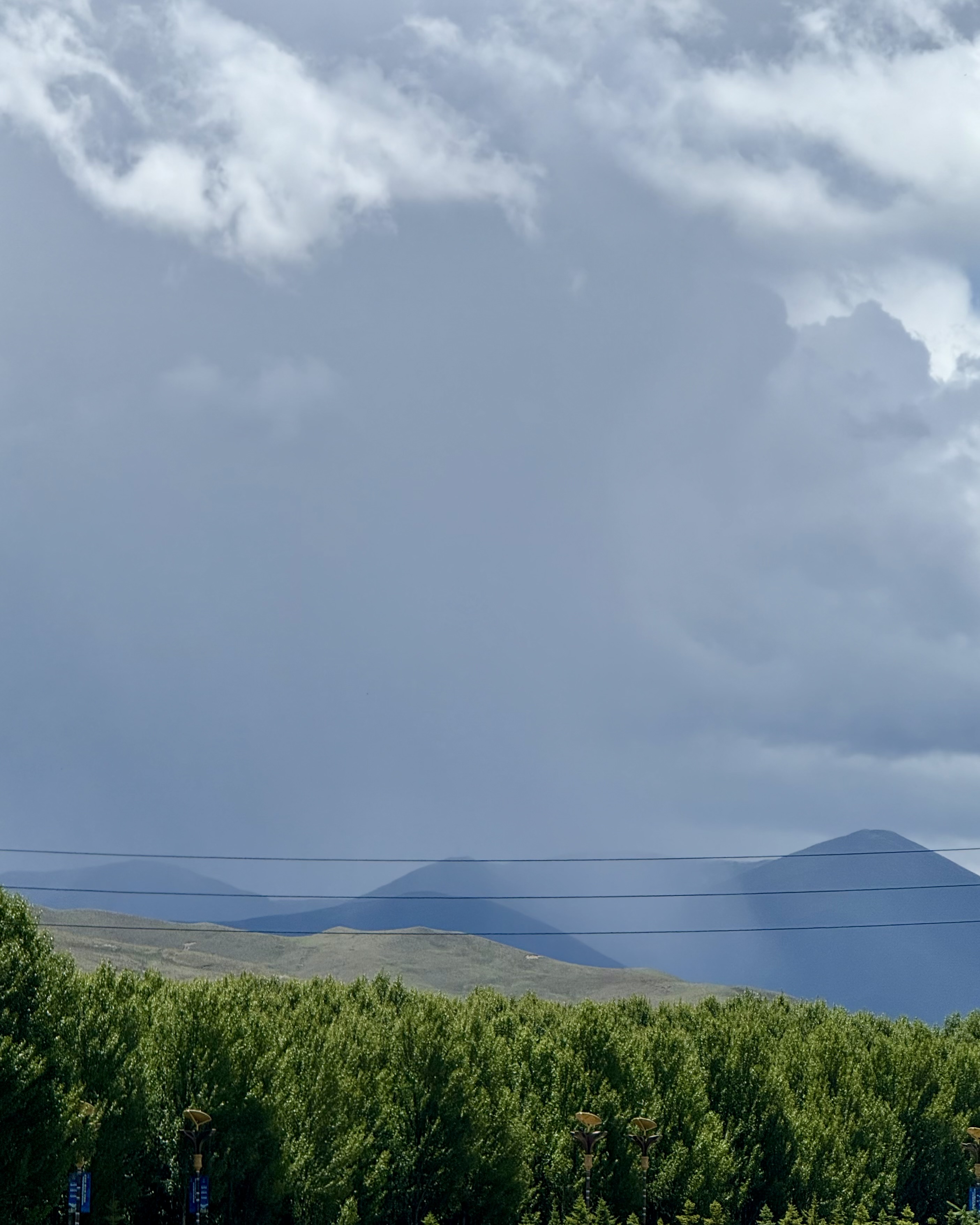
Passing the apex of the Haizi Mountains, the boulders faded away, giving way to an immense valley of such scale that I’ve not experienced before. Huge mountains of dark grass, grazed on by herds of yaks, with clouds grazing the mountaintops. I’ve never seen so much grass at a single point in time.
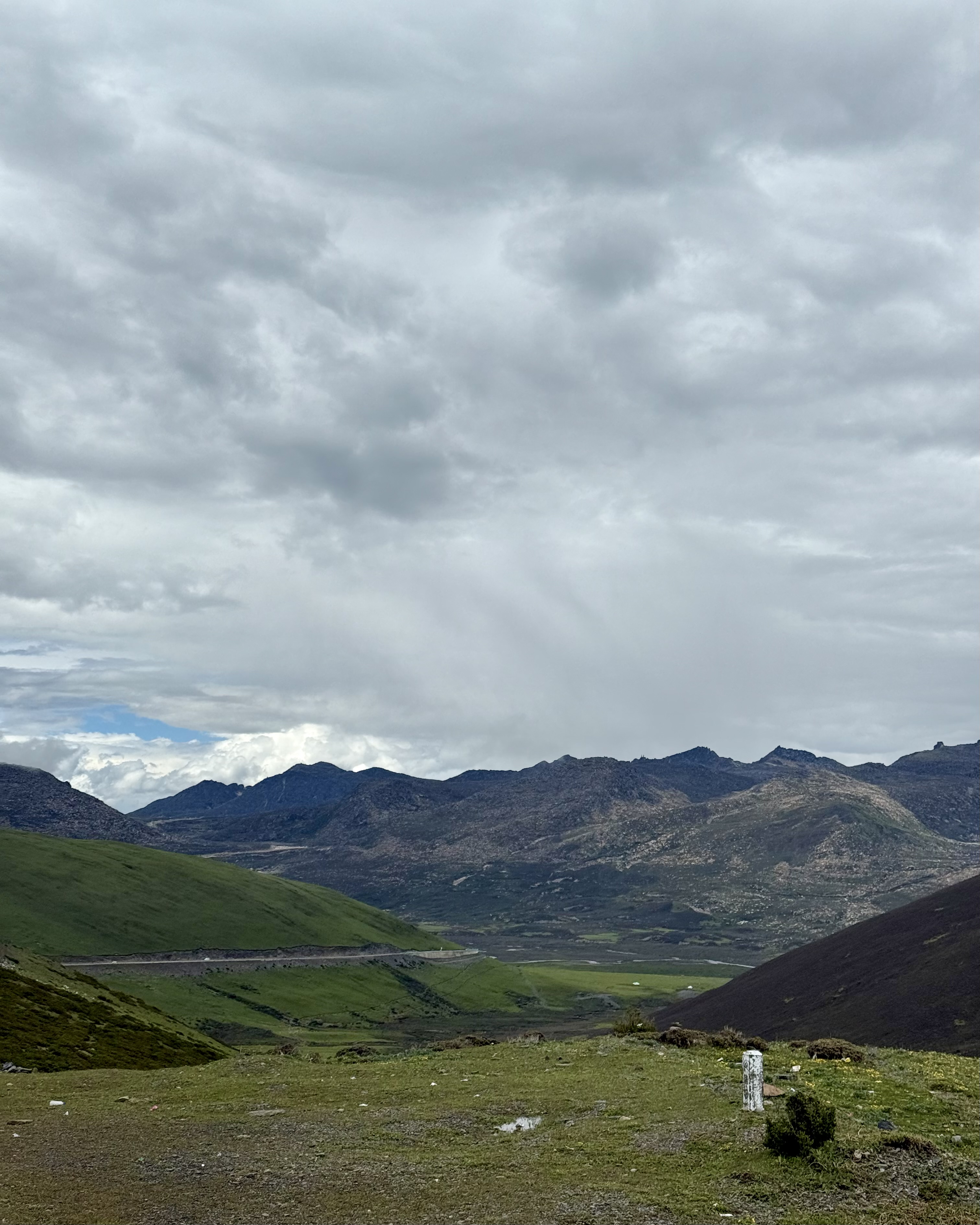 Descending the Haizi Mountains
Once we had passed the mountains, the landscape became much more familiar. Gentle rolling hills with fir trees, and plenty of greenery, eventually giving way to the wide plains and open sky of Litang.
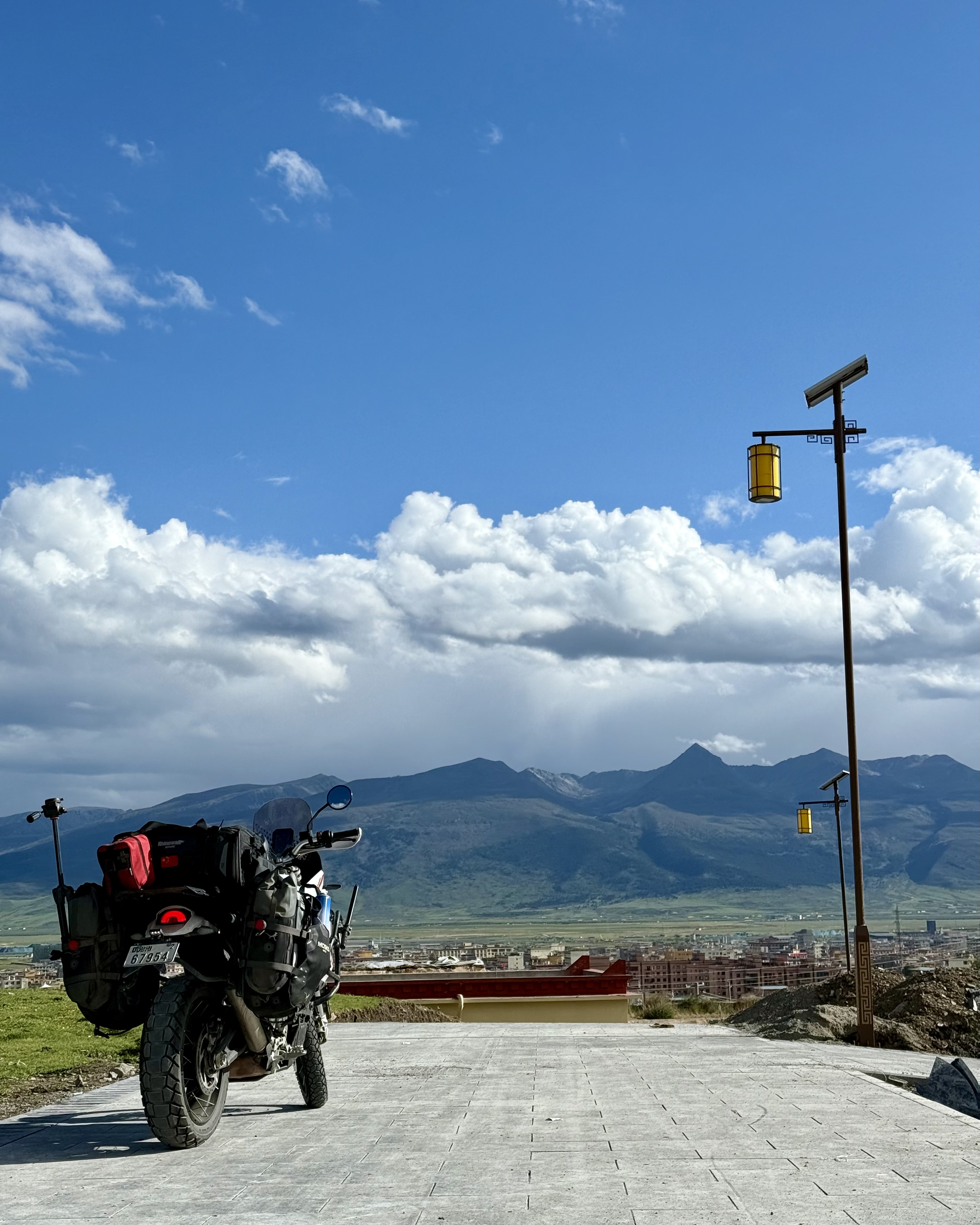 Litang landscape
We spent some time visiting the monastery and ride around town before retiring for the evening.
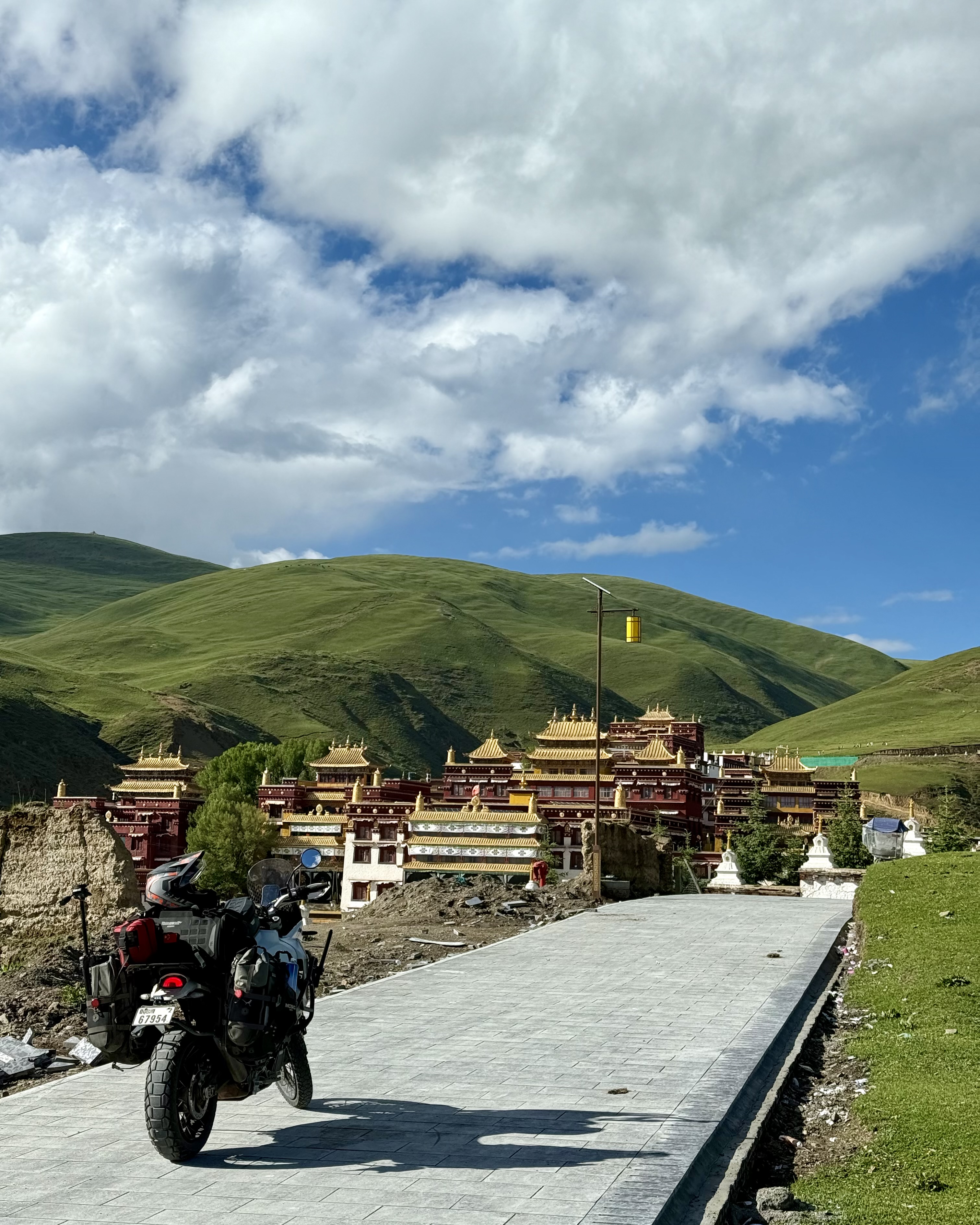 Monastery at Litang
 Oxygen generators in the hotel room
Tomorrow; Tagong!
Some stats:
- 248 KMs travelled
- 11.7L fuel added
- 3 unique interactions
- 25g coffee consumed
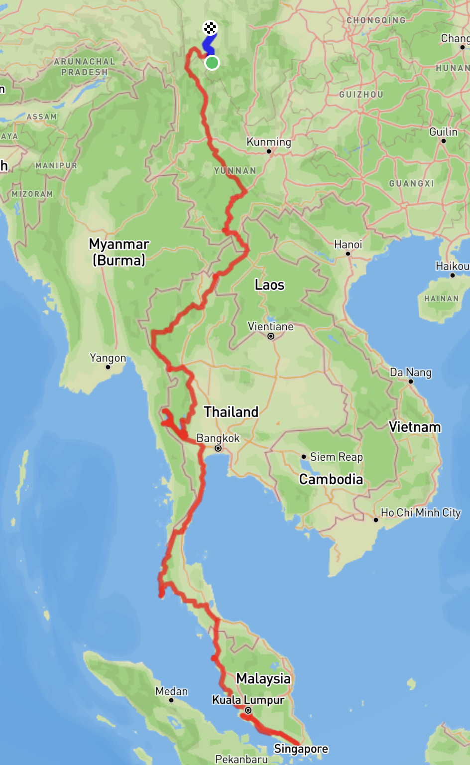 Route to date